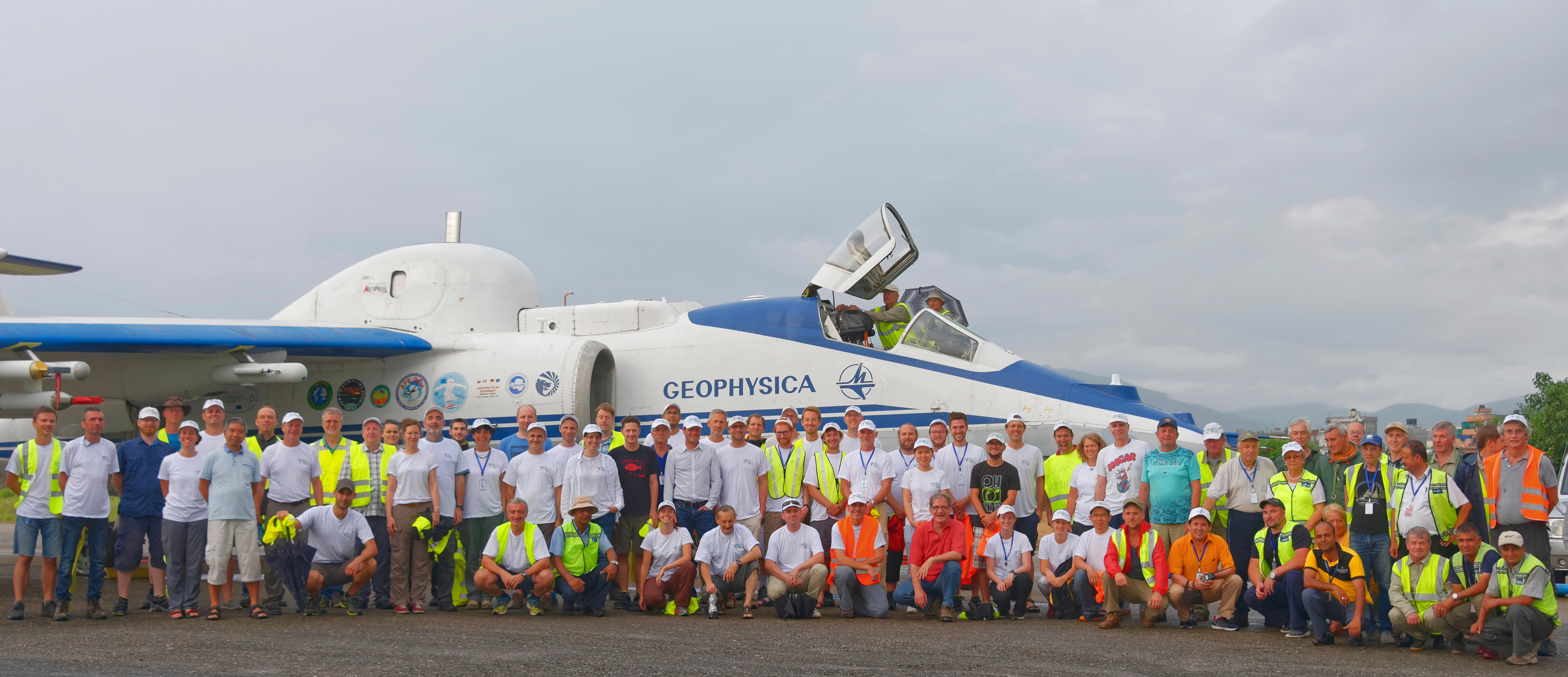
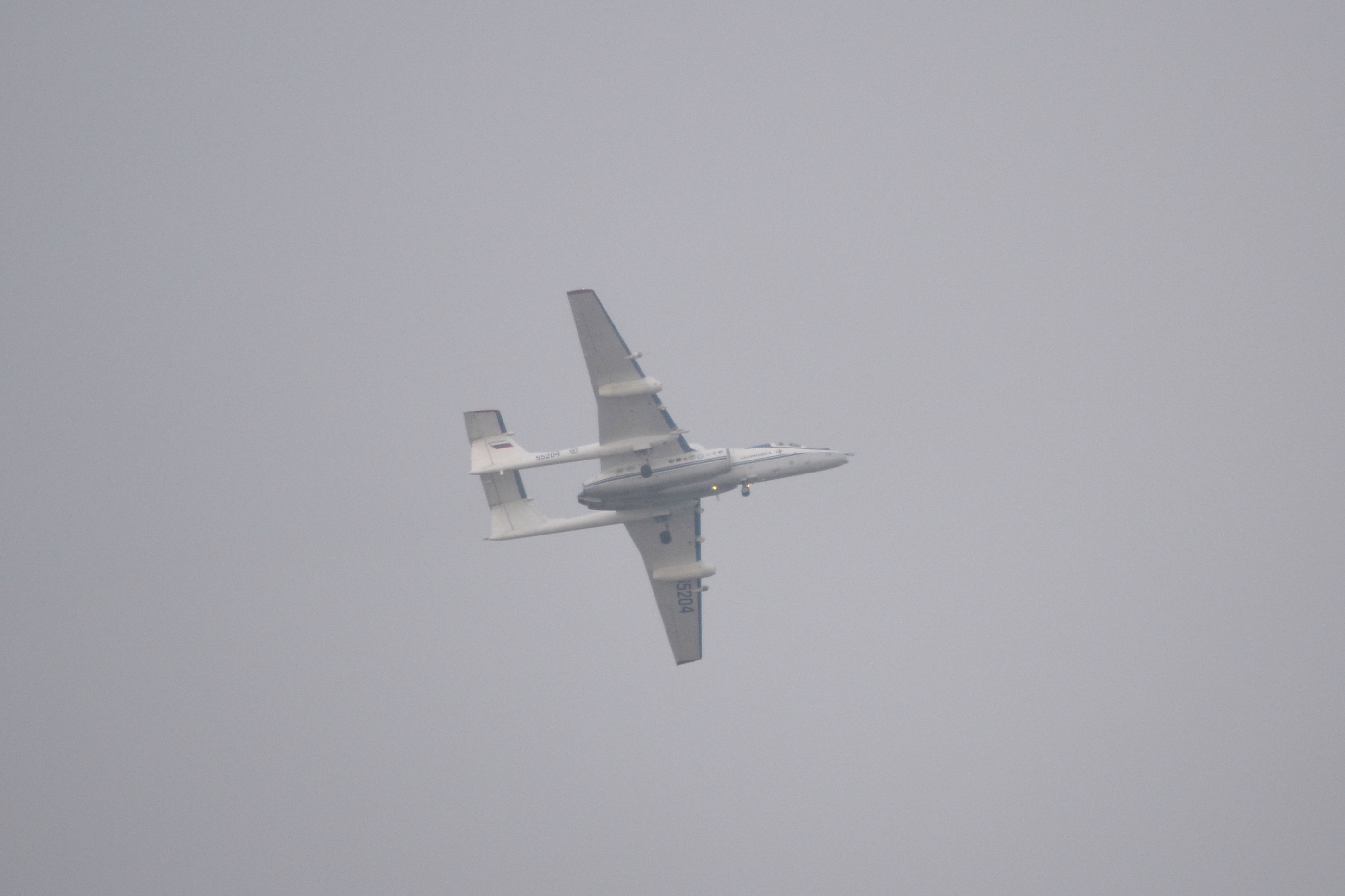
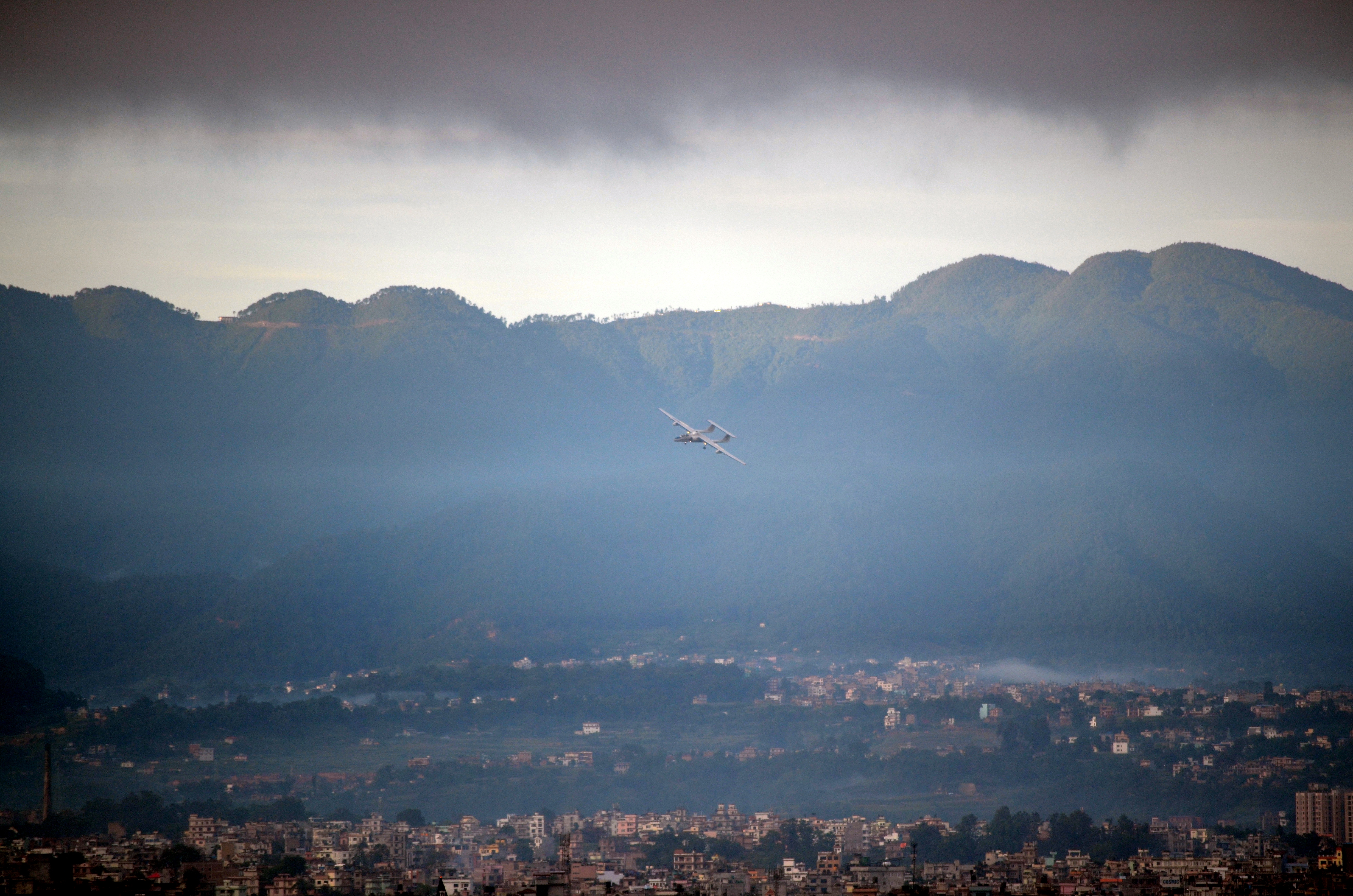
Two out of four planned measurement flights have already been made. Collected data show a lot of potential for nice atmospheric studies and analysis. One group is especially excited after they saw that during the last flight Geophysica – like predicted – really went through an ice cloud (which they study with their instrument).
Next week is the last week of the campaign here in Kalamata, Greece and although one week seems like a long time, with all of the preparation it is hard to fit two more measurement flights in. One was originally planned for today, but unfortunately one instrument showed some major technical problems yesterday night, so this morning the flight for today was spontaneously cancelled. Many of us used that decision to take a day off after 7 days of long and hard work (and although we are on a campaign, where weekends don’t exist, it’s still Saturday 😉 ), others are back in the hanger to fix/improve some components of their instrument. I use the spare time to write another blog entry.
The next flight will either take place on Monday or Tuesday.
The preparation for one of those flights already starts the day before, when all instruments are installed. For our instrument (AMICA) for example, a crane has to be ordered to lift it to the top of the aircraft.
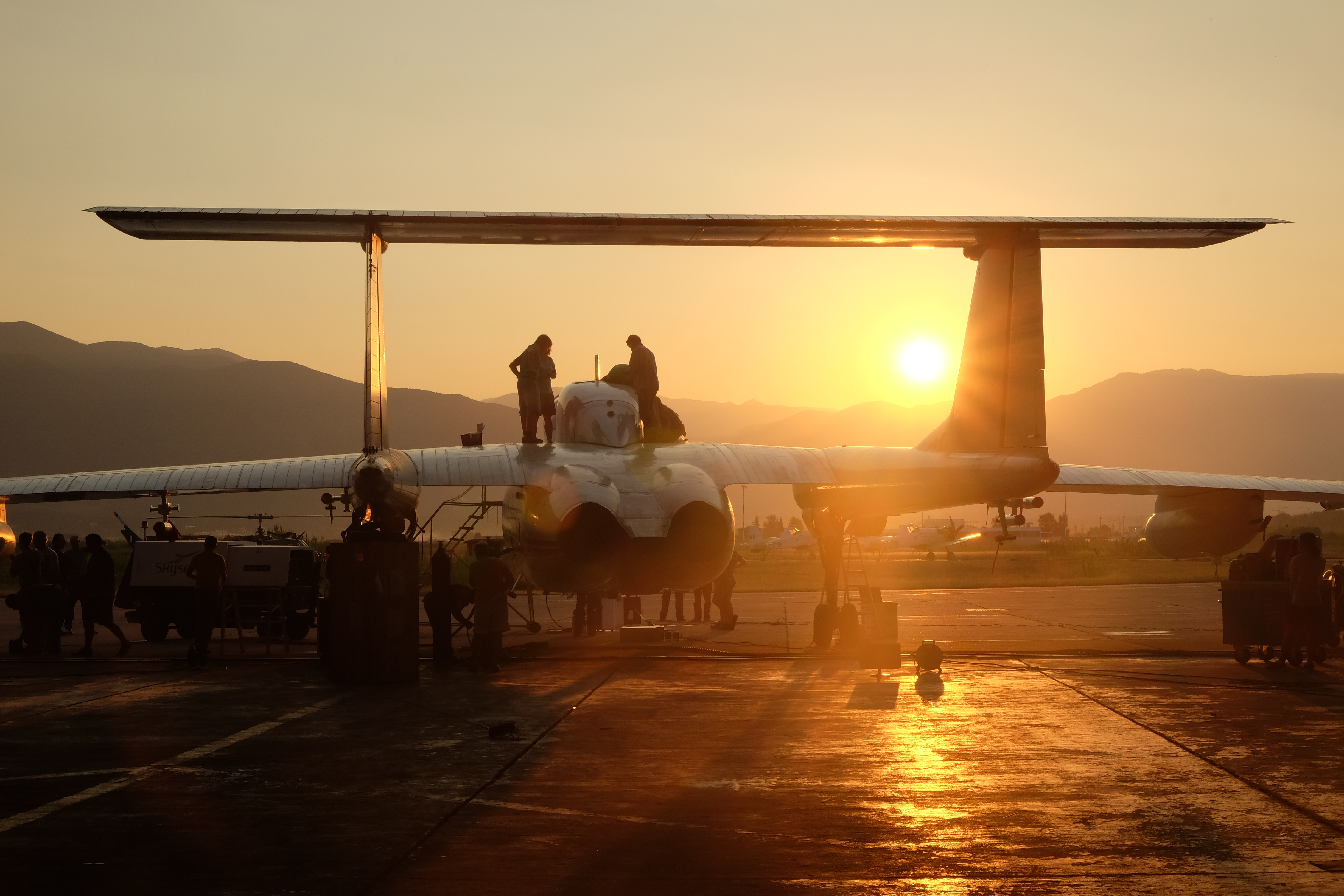
Early in the morning of the flight day, usually around 6 until 7 a.m. scientists come to the hangar to do some last minute preparation (for example warming up the instrument, fixing the inlet, software or logger programming …).

Last minute preparation before flight. Sunrise in the back. Picture by Brian Leen
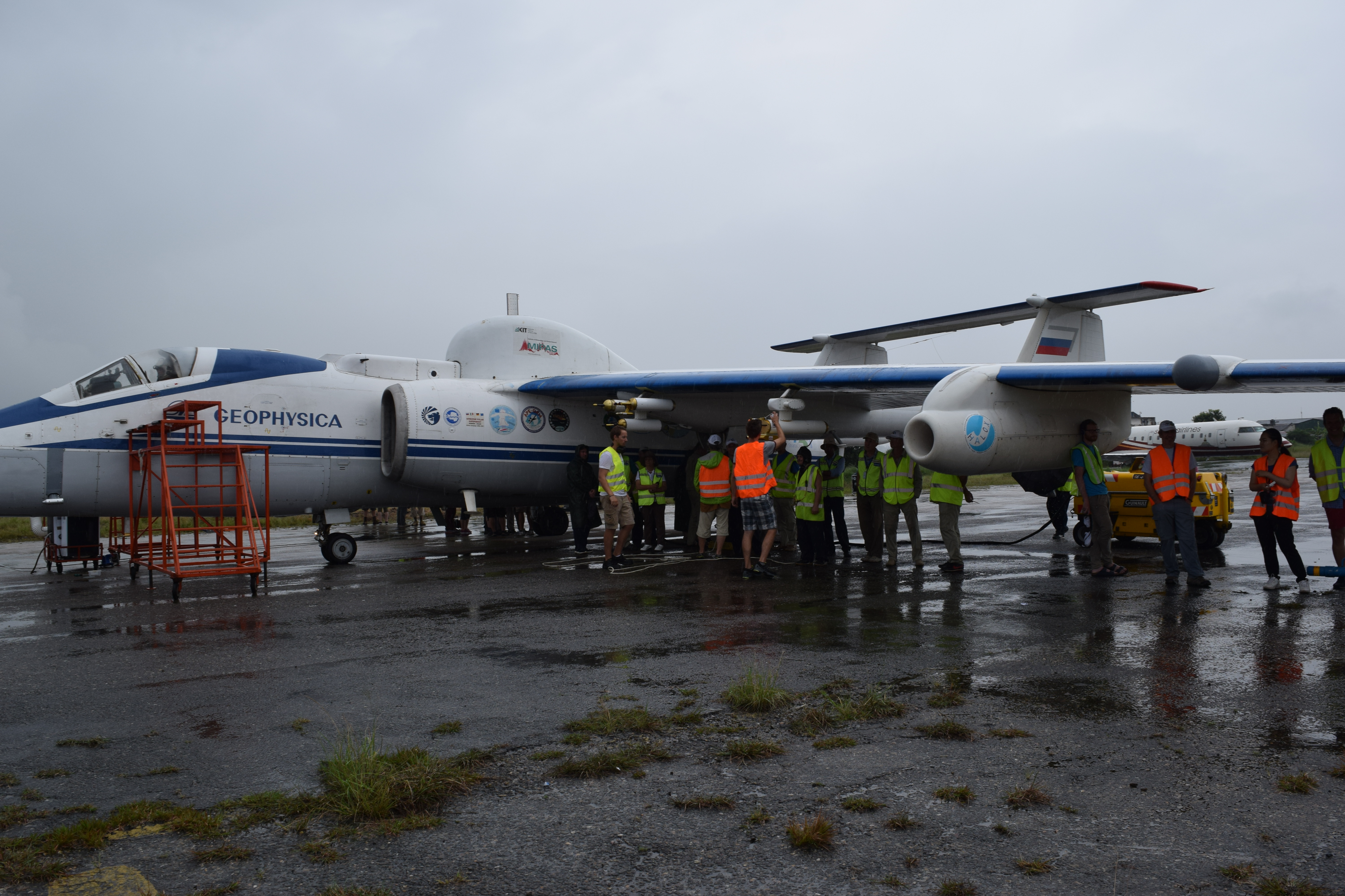
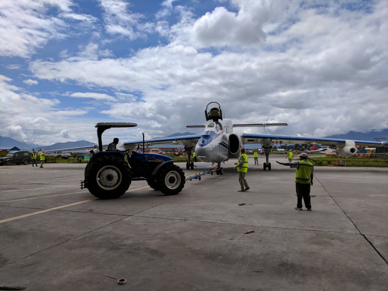
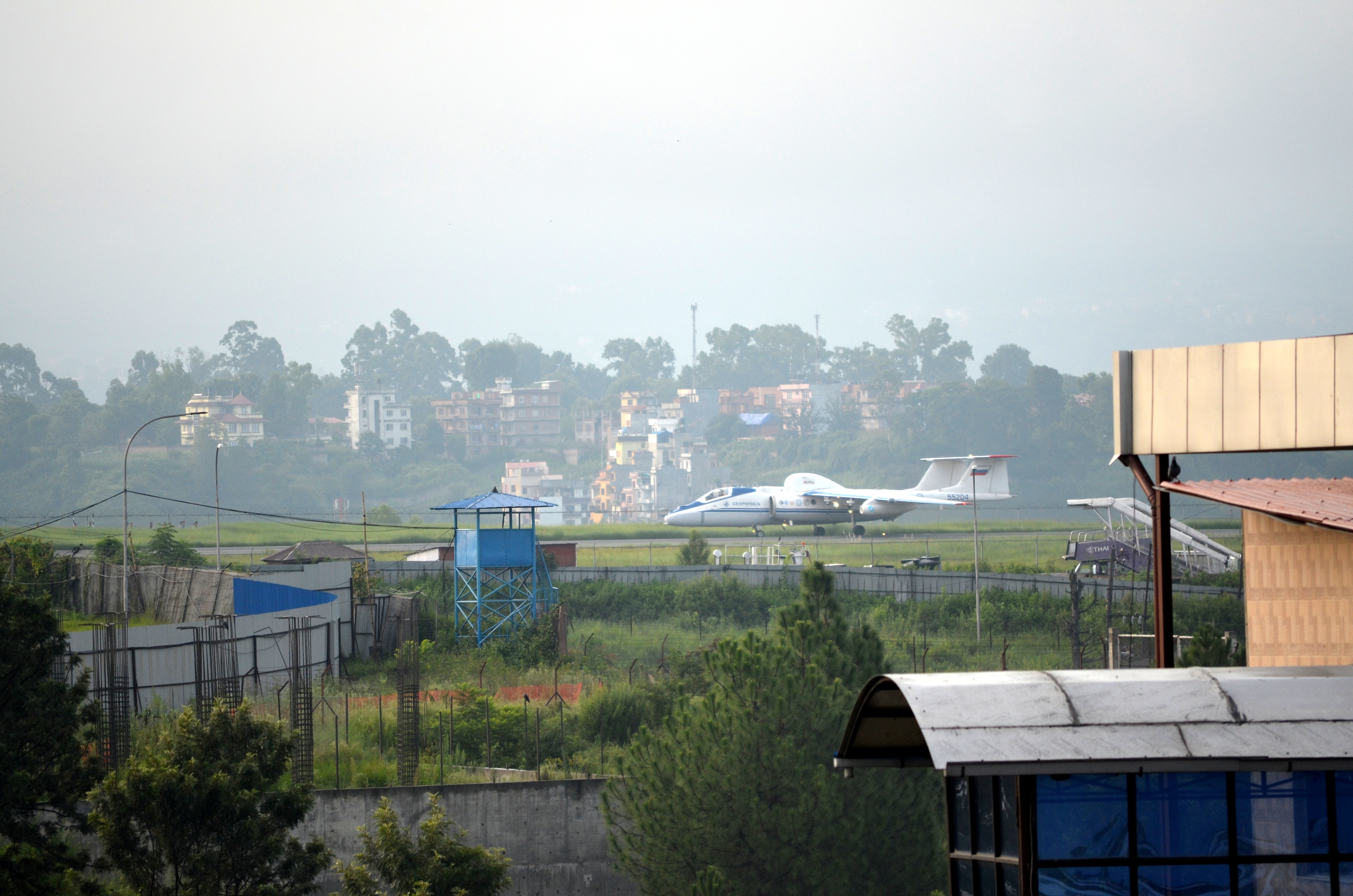
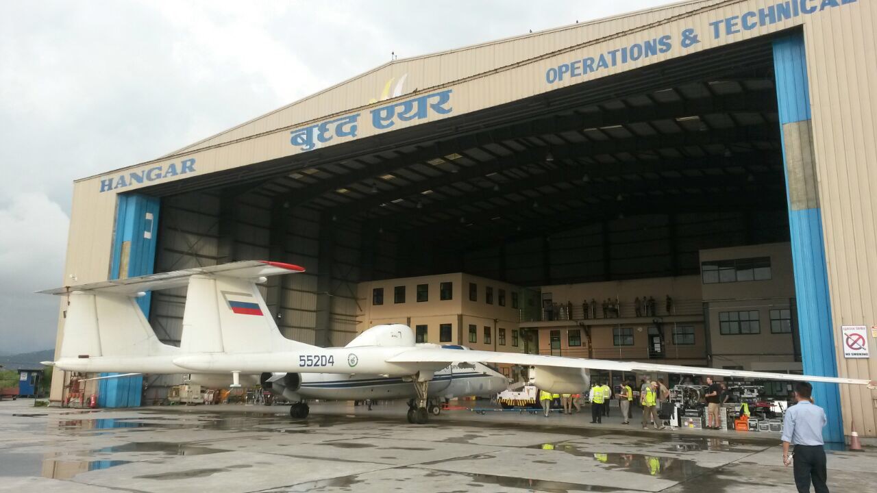
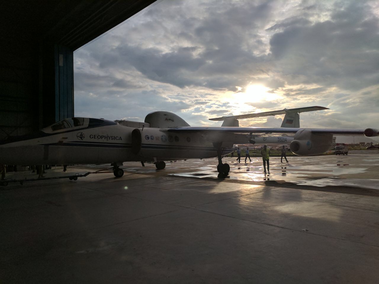
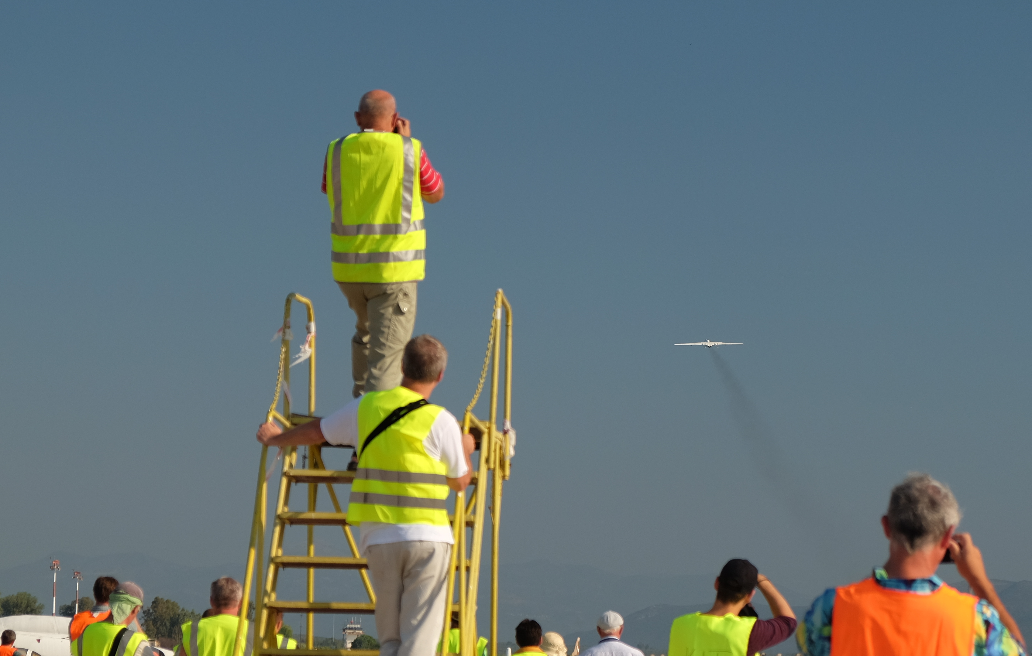
At 7:30 Geophysica is pulled out of the hanger and rolled to the apron. On the apron all scientists have to wear a high-visibility-vest.

high-visibility-vests are requested on the apron. A shortage of vests can lead to colleagues sharing one 😉
A minute by minute schedule, considering the need of every instrument, is followed. In general: The aircraft is connected to Ground power, instruments are switched on, the pilot takes his seat, engines of the aircraft are switched on, the Ground power is disconnected and Geophysica is ready to fly (at around 9:30 a.m.).

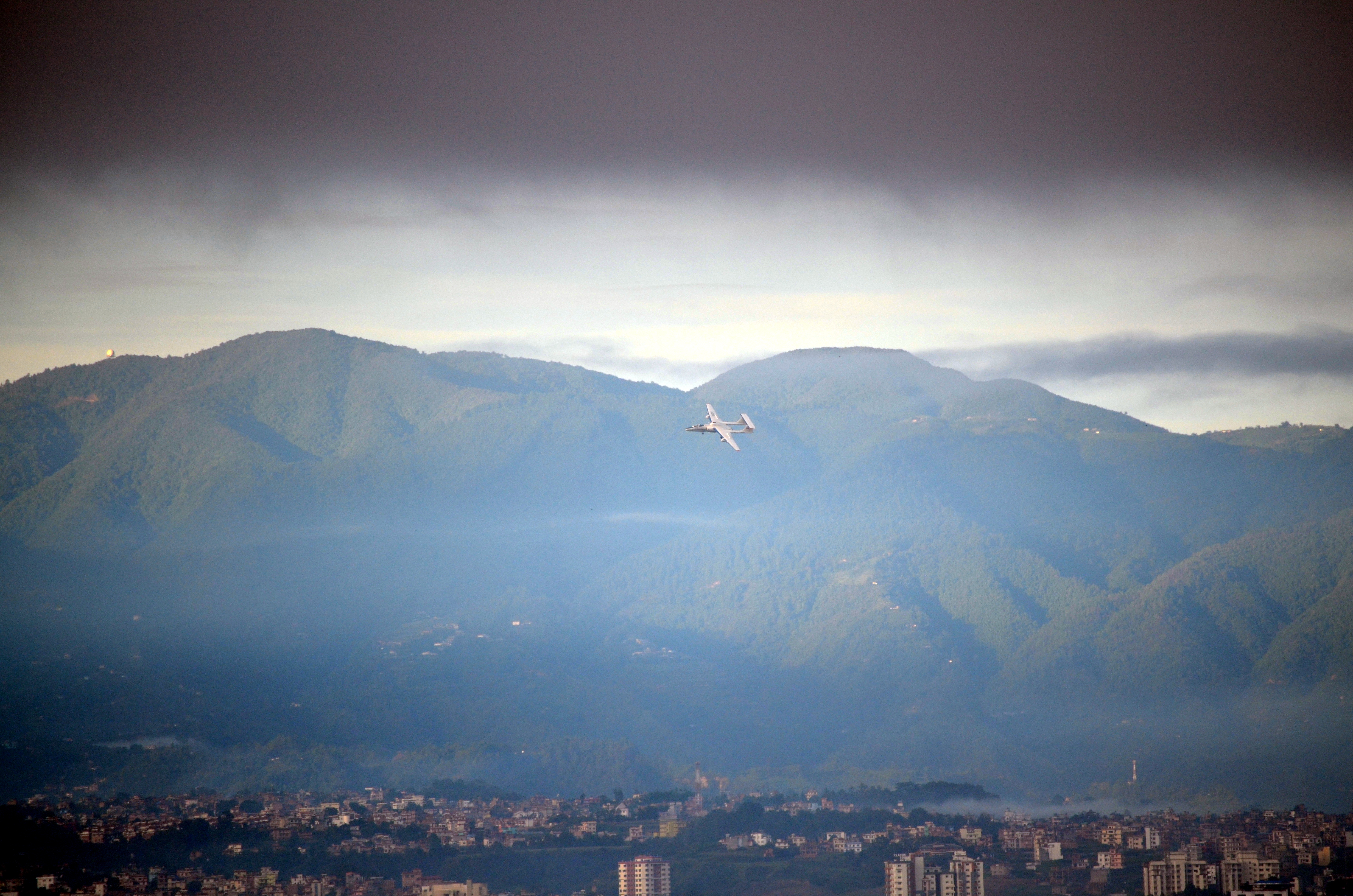
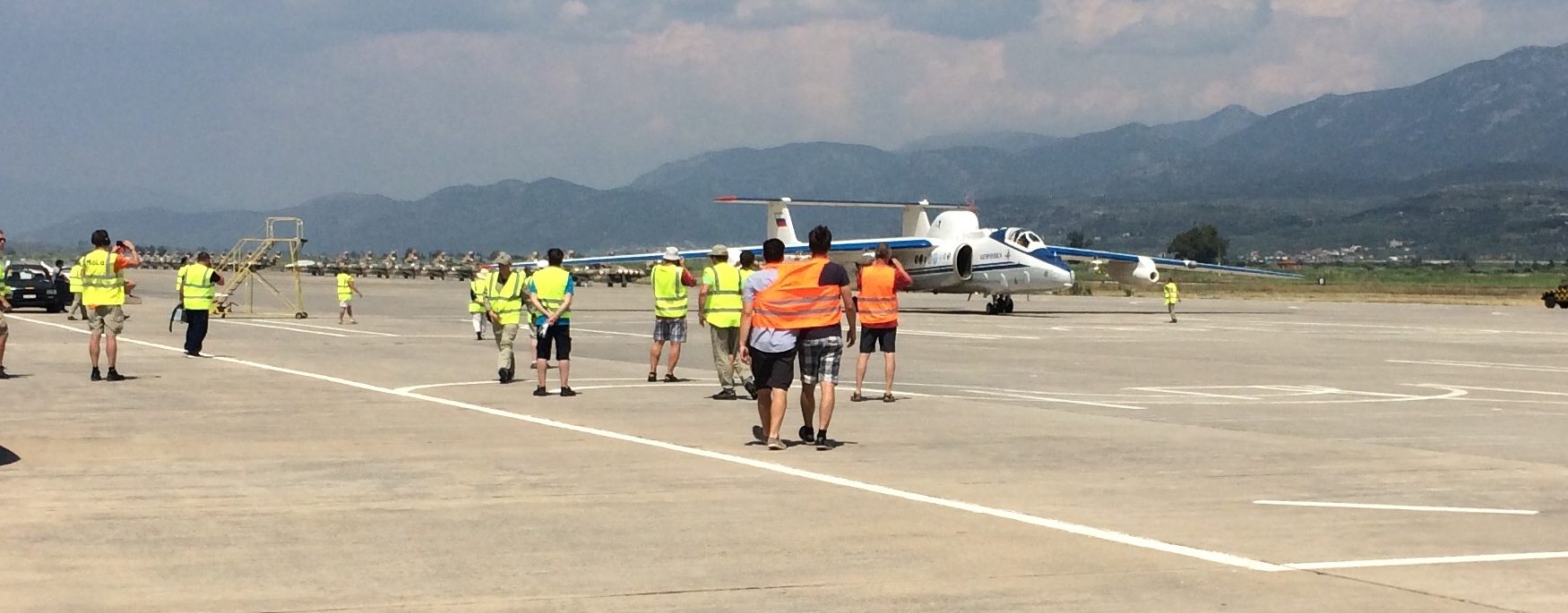
Geophysica taking off. Picture by Brian Leen.
One point that on paper is estimated to take 5 minutes, but really takes around half an hour is ‘pilot takes his seat’. Because Geophysica is a high altitude aircraft (up to 21 km) the pilot is dressed in something that looks more like an astronaut costume to me, rather than a normal pilot uniform. He is connected to oxygen bottles and the whole process is more complex, than just sitting down. One measurement flight takes around 4 hours and it is really exciting to see the aircraft taking off and landing,
.. which we will see again in a few days.


Recent Comments